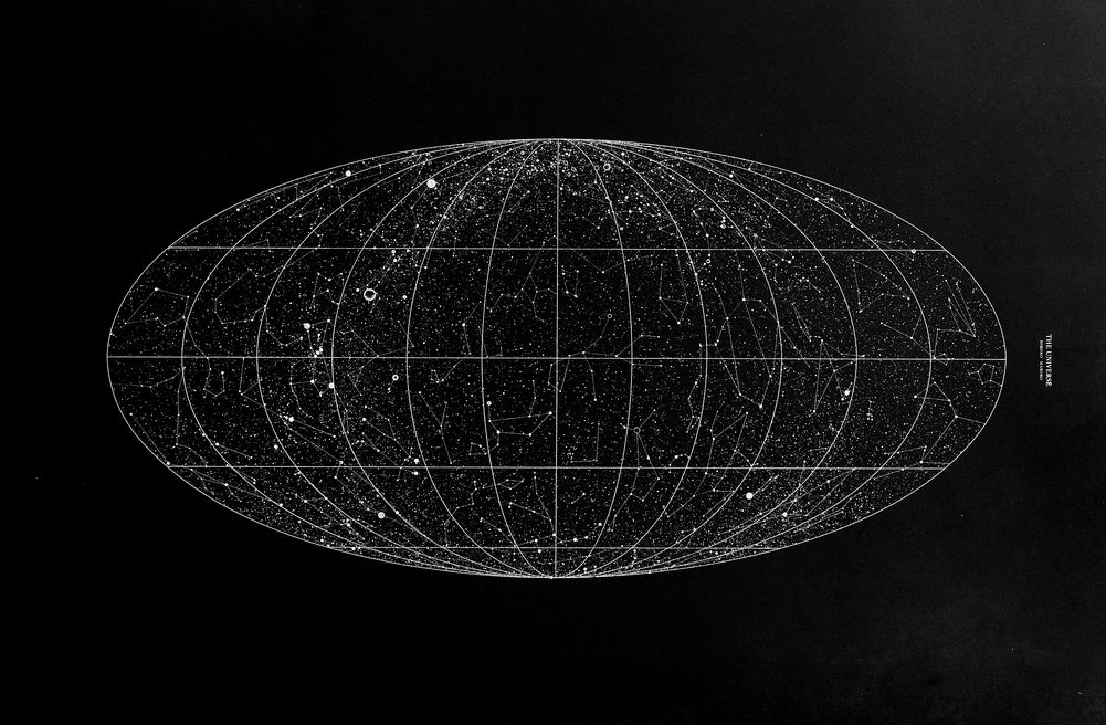
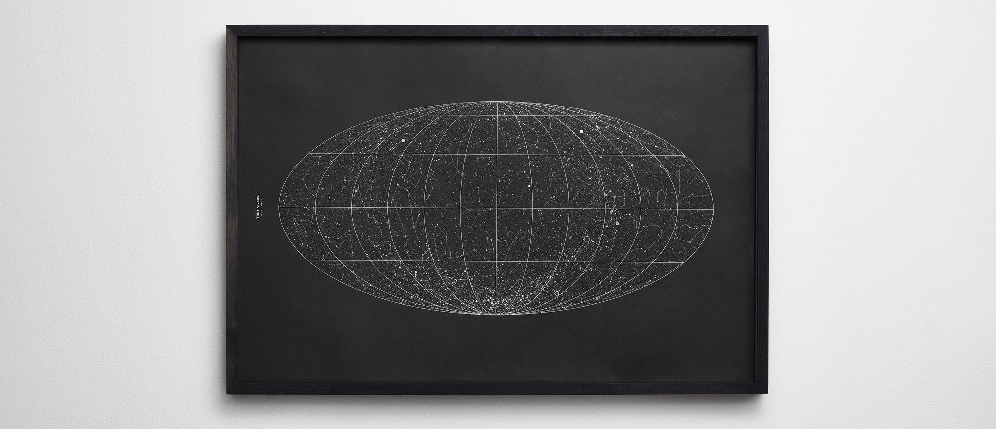
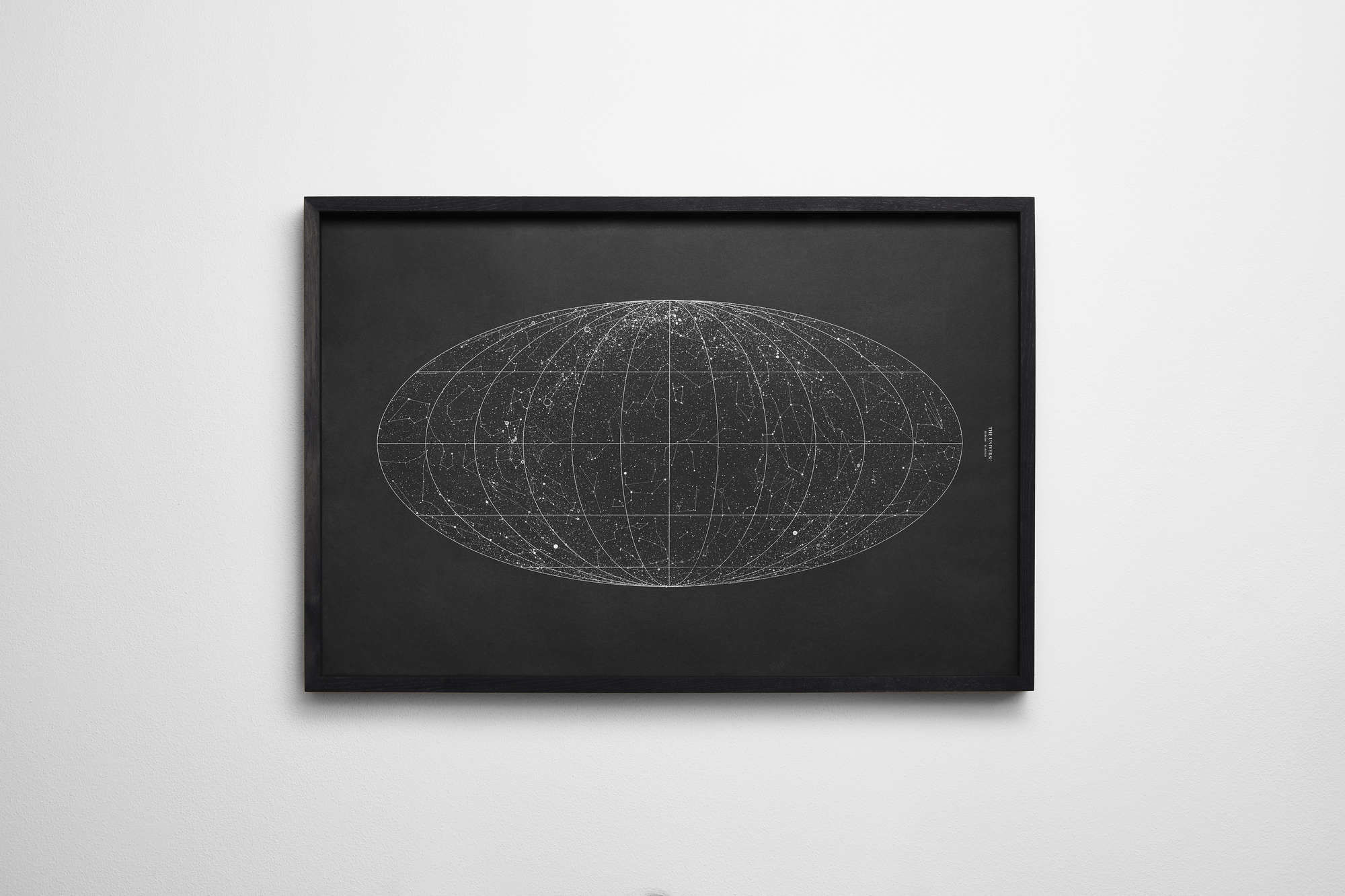
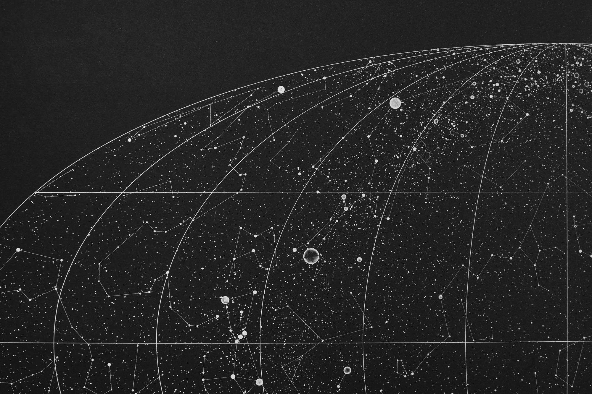
The Mollweide projection is generally used for global maps of the world or night sky. The projection trades accuracy of angle and shape for accuracy of proportions in area, and as such is used where that property is needed, such as maps depicting global distributions. The projection was first published by mathematician and astronomer Karl Brandan Mollweide in 1805 and later reinvented and popularised in 1857 by Jacques Babinet.